McKittrick Canyon, Guadalupe NP, TX, Oct. 22, 2014
The Guadalupe Mountains run from New Mexico west of Carlsbad into Texas. The Carlsbad side is famous for its caves while the
Texas side is more quiet and is mostly wilderness. Cursory research showed that we were coincidentally in the area during the
ideal time to hike in McKittrick Canyon.
http://www.nps.gov/gumo/planyourvisit/mckittrick.htm
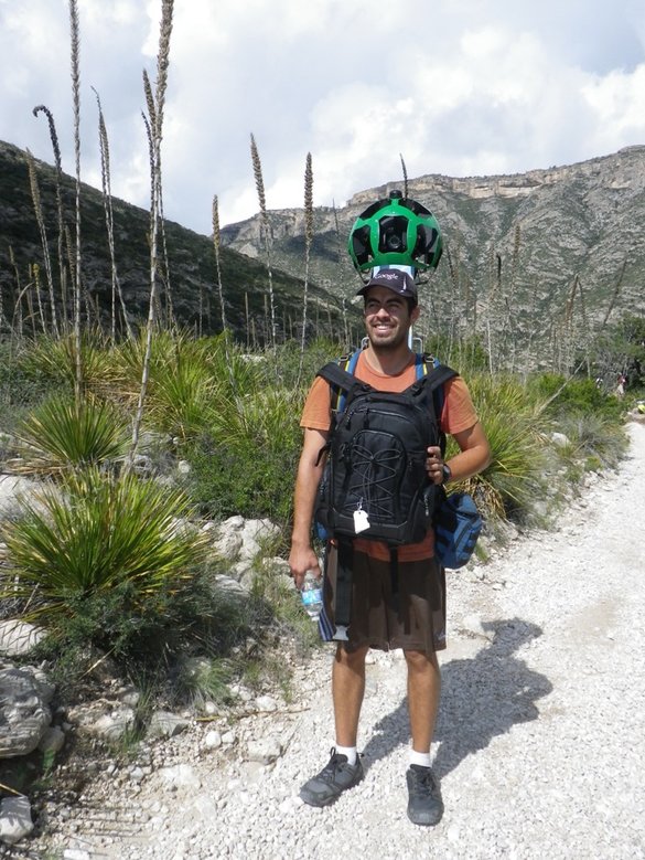
We first encountered a Google mapper, carrying a 40lb panoramic camera on his back
The mapping cameras are allowed in national parks, but not beyond wilderness boundaries. The trailhead area is scrubby
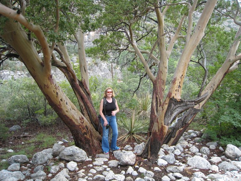
and looks similar the Chihuahuan Desert in Big Bend. Here's a Texas Madrone tree larger than we saw in Big Bend.
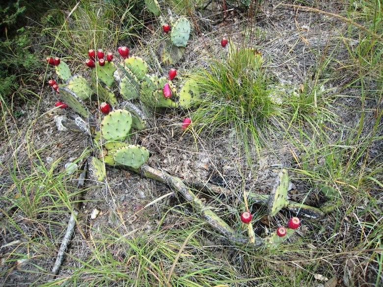
And a prickly pear with flowers.
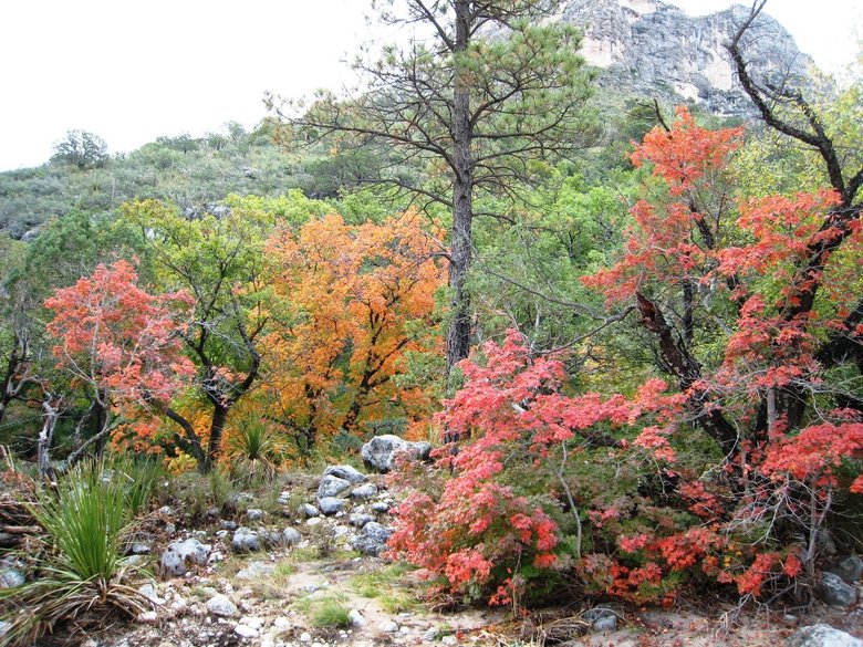
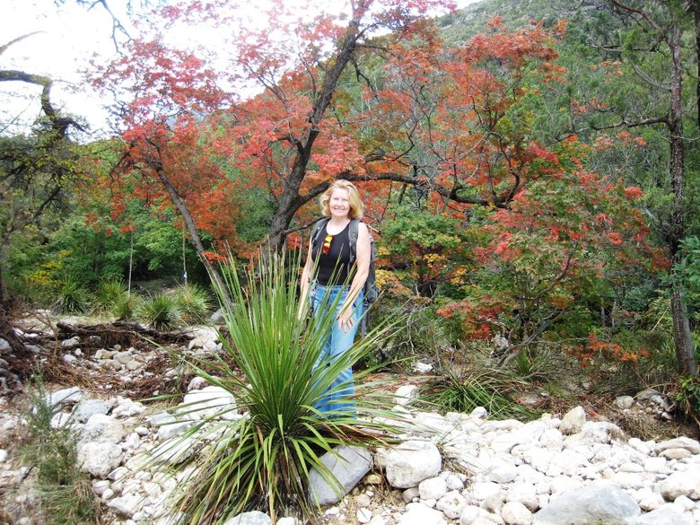
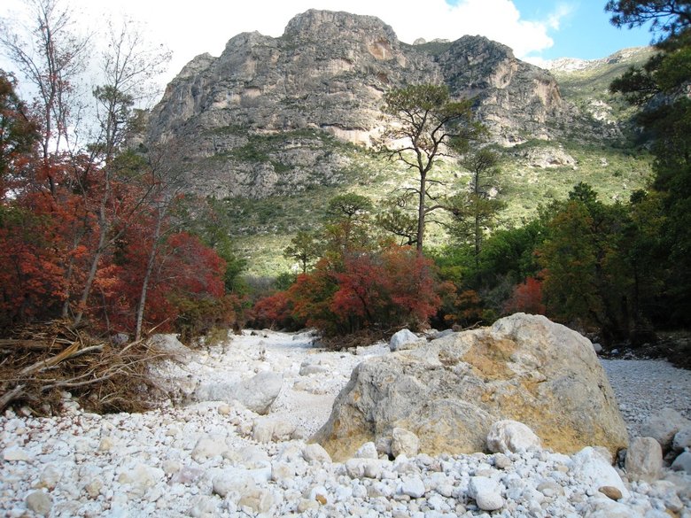
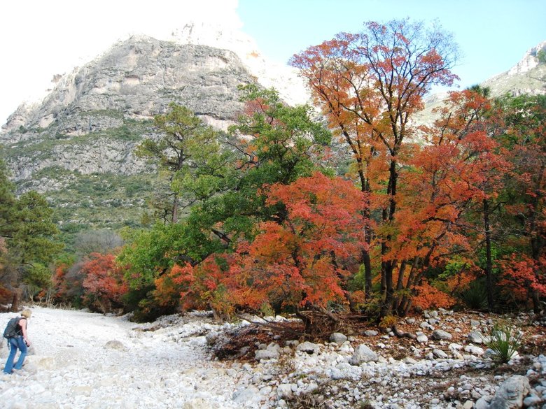
But soon the canyon turns to maple forest.
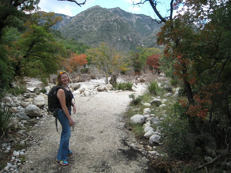
We were early in McKittrick's touted fall foliage season.
We stopped at Pratt Cabin, residence of geologist Wallace Pratt from 1932-1957.
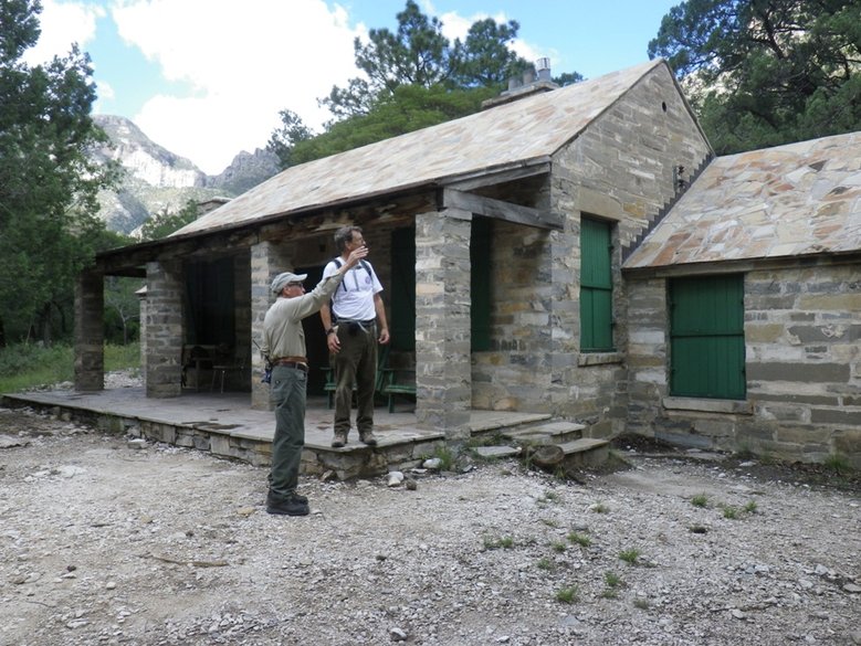
Pratt's donation led to the establishment of the national park in 1966.
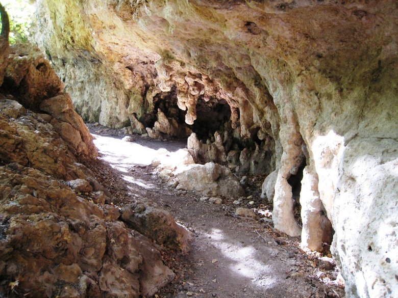
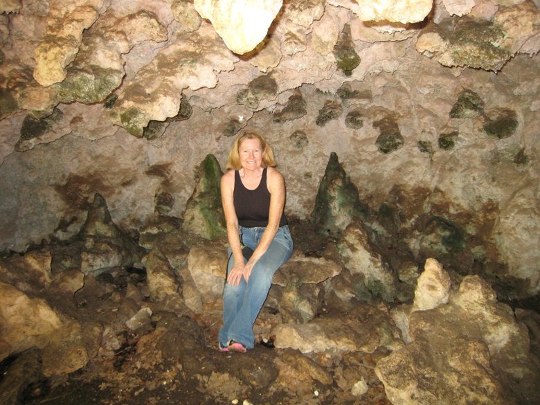
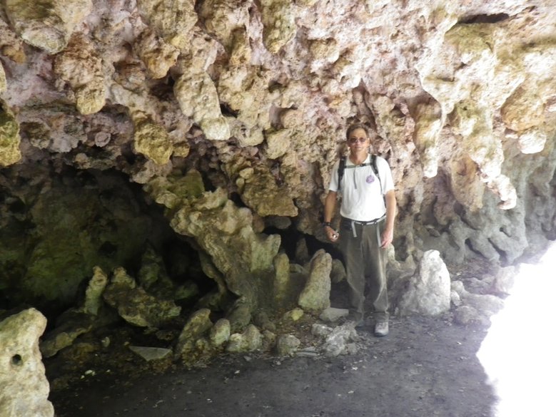
We continued on to the Grotto, a mini cave with limestone formations.
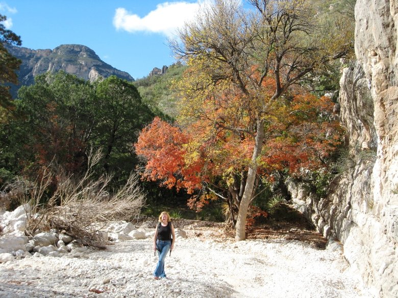
We walked back along the streambed. There had been a major flash flood in September, with debris wrapped around trees to
a height of at least 6 feet.
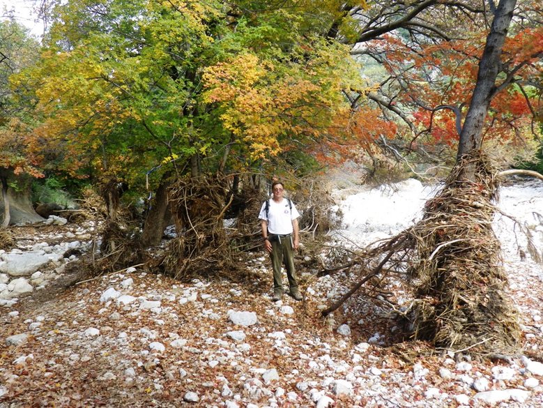
More fall foliage along the streambed.
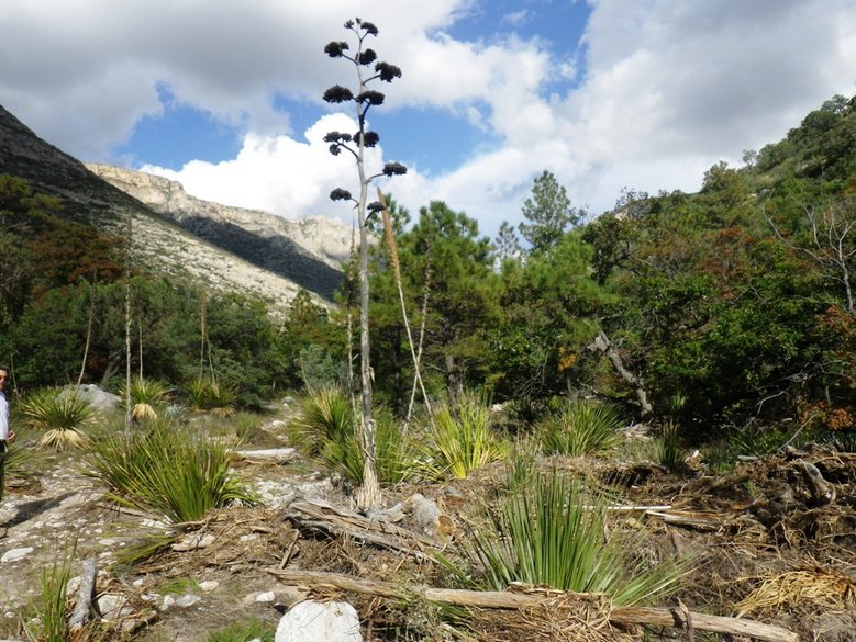
Farther down the canyon was a dead century plant stalk.
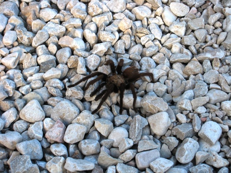
And near the trailhead, a tarantula
We then drove to Cloudcroft, New Mexico, where we attended the Solar Eclipse Conference for the next 4 days. It has been
held since 2000 during years with no total solar eclipse. This location gave us the opportunity to visit some new places like
Big Bend and Guadalupe on the way there.